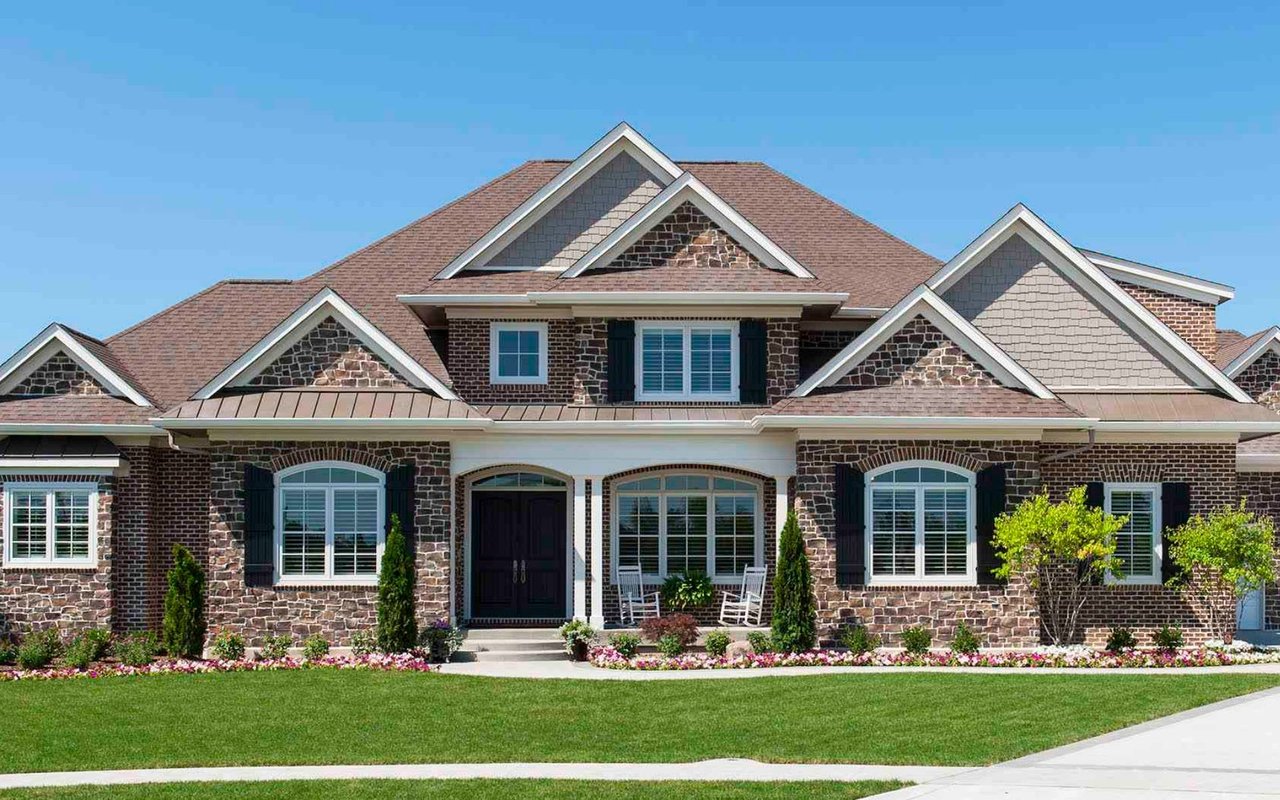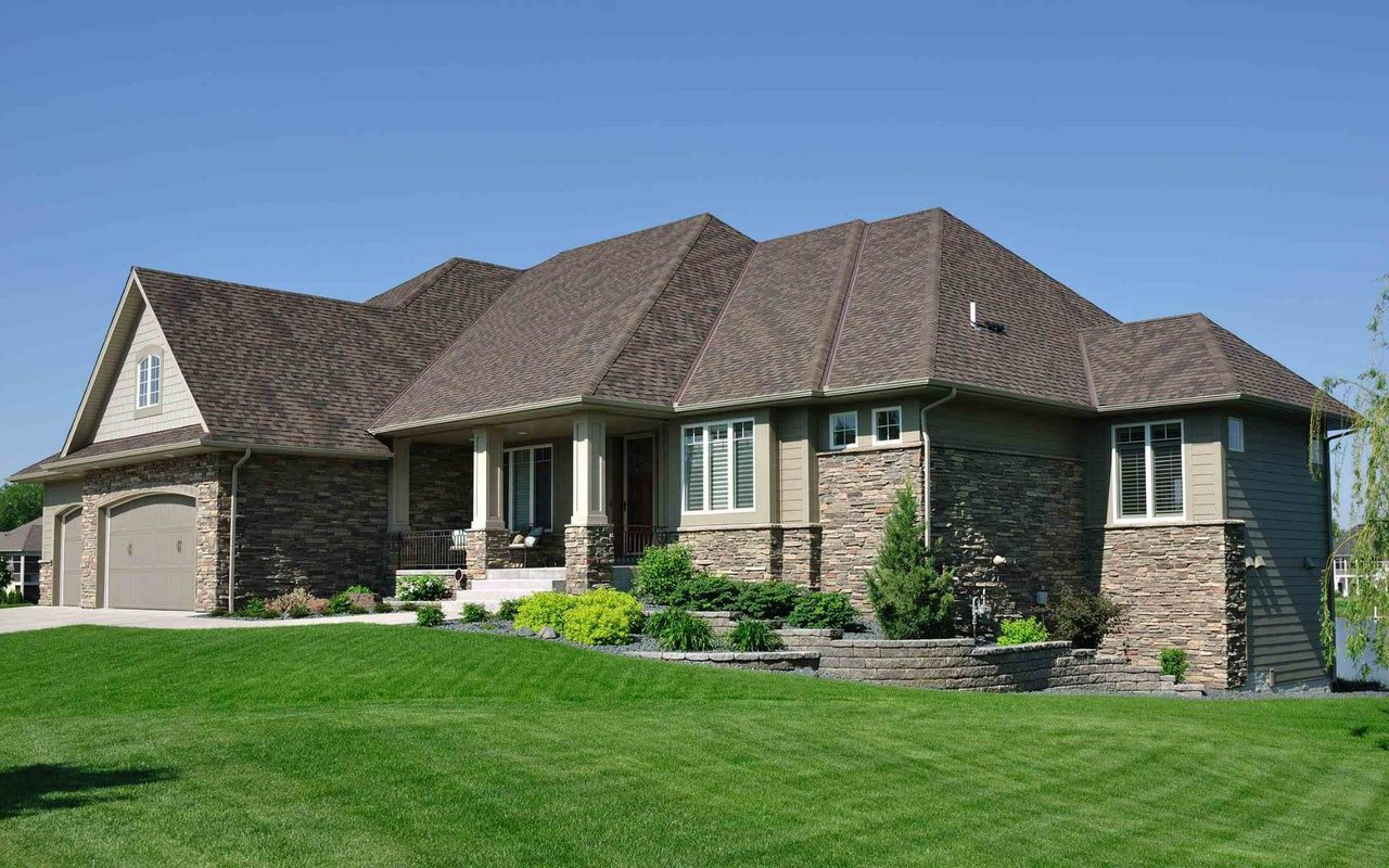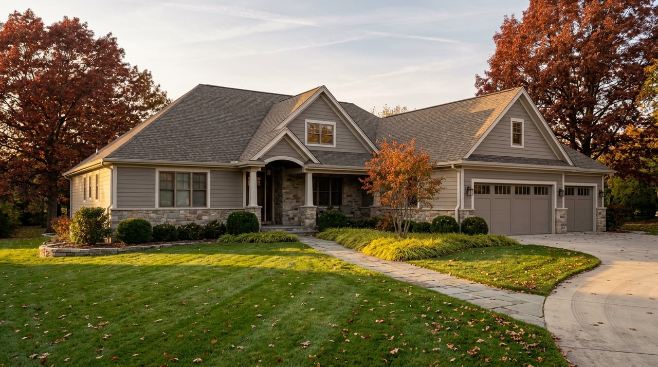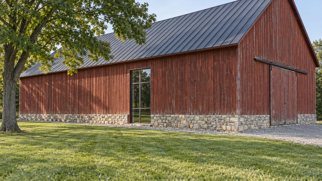
A stone farmhouse with a bank barn behind it, sitting on five or ten acres along one of Lower Macungie Township's older rural roads, is a familiar picture to anyone who has shopped this part of the Lehigh Valley. Most listing descriptions treat that barn as a footnote, either a charming extra or a demolition line item depending on its condition. Neither read survives contact with the township's actual rules. Lower Macungie has a written ordinance that decides what happens to that barn before a buyer, a seller, or a contractor ever touches it, and the ordinance does something more interesting than simply block the bulldozer.
The Lower Macungie Township Heritage Preservation Ordinance, codified as Chapter 17 and maintained as an appendix to the zoning code, doesn't only restrict what an owner can do to an old structure. It also opens a conditional-use path that the underlying zoning district would never otherwise grant a new building on the same lot. That trade, restriction in exchange for flexibility, is the detail that should change how a seller prices an old barn and how a buyer reads one during a walkthrough.
Three Classes, One Map
The township's Historical Commission, a seven-member volunteer body appointed by the Board of Commissioners for five-year terms, maintains a current Historic Resources Map and sorts everything on it into three classes.
| Class | What Qualifies | What It Means for a Transaction |
|---|---|---|
| Class I | Buildings, sites, structures, or objects that have already received a formal determination of eligibility for the National Register | Confirm National Register status directly rather than assuming a renovation timeline |
| Class II | Buildings that don't meet National Register criteria but that the Historical Commission has documented as historically or architecturally significant to the township | This designation exists only on the township's own map, so a national database search won't surface it |
| Class III | Structures originally built for agricultural use and included in the township's historic resources inventory, without meeting Class I or II | Most working barns, corncribs, and springhouses on older Lower Macungie parcels fall into this category |
The Commission's duties go beyond keeping the list. It surveys and inventories historic buildings, sites, structures, and objects across the township, and it weighs in whenever a subdivision, land development, or conditional-use application touches a mapped resource. Revisions to the map itself, additions, deletions, or reclassifications, happen only through legislative action by the Board of Commissioners, and property owners get written notice of the Commission's recommendation at least ten days before the meeting where it's decided.
The Permit Before the Permit
Here is the step that catches people mid-transaction. Any applicant seeking special use approval for a mapped resource must obtain a Certificate of Appropriateness before the township will issue a building, use, or occupancy permit. This isn't a rubber stamp that happens automatically at settlement. It's a distinct review with its own calendar, and that ten-day notice window before a Commission recommendation reaches the Board is worth building into any contract contingency that assumes exterior work can start the week after closing.
What Happens If You Demolish First and Ask Later
The ordinance doesn't leave the demolition question to interpretation. No Class I, II, or III resource can be demolished, in whole or in part, including the stripping of significant interior or exterior architectural features, without a permit obtained through the proper zoning officer process. Violate that, and the penalties attach to more than a fine. The Board of Commissioners is required to withhold building permits for a minimum of one year on any property that, at the ordinance's enactment, was occupied by a Class III historic resource that was later demolished in violation of the section.
That freeze attaches to the land, not to whoever did the demolishing. A buyer who inherits a parcel where a barn quietly disappeared without the right paperwork can inherit the permit hold along with it. It's a due diligence question worth asking directly: did any historic structure ever stand here, and what happened to it.
The ordinance also treats certain features as things to design around rather than clear away. Nonhabitable structures of historic or heritage significance, the code specifically names silos, windmills, limekilns, gristmills, towers, trestles, bridges, cemeteries, burial plots, stone foundations, and ruins, must be preserved, restored, and incorporated into any proposed subdivision, land development, or site plan. If a future subdivision is part of the plan for a larger parcel, that old lime kiln or family burial plot at the back of the property isn't a clearing cost. It's a fixed point the plan has to work around. Any land development on a site containing a structure recognized by the National Register, the Commonwealth, Lehigh County, or the township also requires a feasibility study for the structure's preservation or adaptive reuse, submitted for township review before approval.
The Barn Is Also an Asset, Not Just a Restriction
This is where the ordinance stops being purely defensive. Under the township's environmental and historic protection provisions, adaptive reuse of an existing barn is explicitly encouraged. Even where a particular use isn't permitted by right or by conditional use in the zoning district where the barn sits, reusing that existing barn for a defined set of purposes qualifies for conditional use consideration in any zoning district in the township, subject to Board review.
That's a real asymmetry worth pricing into an offer. A brand-new outbuilding on the same lot wouldn't get that path. The barn does, precisely because the ordinance was written to keep old agricultural structures useful rather than let them sit empty until they're beyond saving. For a buyer looking at an estate-scale property with a barn already in decent shape, that conditional-use door is part of what the barn is worth, not a footnote beneath it.
The Buffer You Don't See From the Road
One more overlay affects the same large, historic parcels this ordinance is built for. A zero-disturbance buffer of 75 feet applies from the edge of protected water features, including delineated wetlands, confirmed vernal pools, naturally occurring ponds and lakes, and man-made ponds or lakes left undisturbed for more than ten years, though that last category excludes features on residential lots. The buffer also runs along the Little Lehigh Creek, Swabia Creek, and Cedar Creek and their tributary brooks, runs, and streams, applied to both sides per the township's design guidelines.
Acreage that looks open on a plat isn't automatically buildable once a stream or wetland edge is mapped. Anyone picturing a pool house, an addition, or a future lot line adjustment near water on one of these parcels should confirm the buffer before treating that stretch of lawn as usable ground.
What This Means Before You List or Make an Offer
- Ask the township's Historical Commission whether any structure on the parcel appears on the Historic Resources Map, and which class, before a listing description calls a barn a teardown.
- If a pre-settlement inspection turns up unpermitted demolition or alteration of a mapped resource, assume the current permit application could be affected, not just the past one.
- Build Certificate of Appropriateness review time into any contract contingency that assumes exterior work begins immediately after closing.
- Don't treat acreage near a stream, pond, or wetland as buildable until the 75-foot buffer has been mapped against the actual lot lines.
- If a future subdivision is part of the plan, ask early whether the parcel includes silos, stone foundations, a family burial plot, or similar features the ordinance requires the plan to incorporate rather than clear.
FAQ
Does my house need to be on the National Register for this ordinance to apply? No. Class II and Class III designations are made locally by the township's own Historical Commission and cover properties that were never nominated to the federal register.
Can a listed barn ever be torn down? Yes, through the ordinance's demolition permit process, which is a distinct step from a routine demolition permit. Skipping that process is what triggers the one-year permit freeze on the property.
Where do I check whether a property is on the map? The township's Historical Commission maintains the current list, and it's worth confirming before signing anything that assumes a structure's future one way or the other.
A barn on a Lower Macungie property isn't a simple yes-or-no line item for a listing sheet, and it isn't a simple obstacle for a buyer to price around either. The classification, the permit sequence, and the adaptive reuse allowance all move together, and getting the sequence wrong costs time on both sides of a closing table. If you're weighing a historic or farm property in Lower Macungie Township, on either side of the transaction, The Rebecca Francis Team can help you read what the ordinance actually allows before you write an offer or set a list price. Request a private consultation to start with the facts on your specific parcel.